Funder
Gates Foundation
Partner
Natview Foundation for Technology Innovation, Data Science Nigeria, and GRID3
Project Goals
Improve the availability and integration of Reproductive, Maternal, Newborn, Child Health, and Nutrition (RMNCHN) metrics, population estimates, and spatial based data that can drive evidence-based decision making
Strengthen the use of data systems for optimal redistribution of resources
Overview
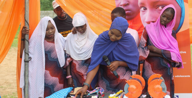
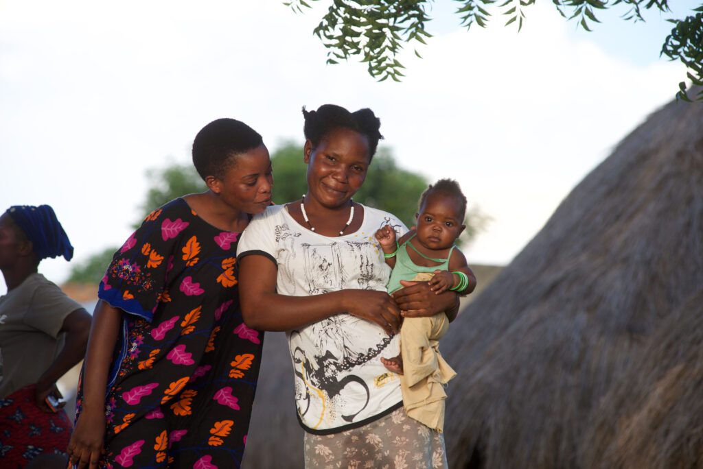
The GeoST4R project aims to enhance reproductive, maternal, newborn, child health, and nutrition (RMNCHN) services in Nigeria’s Kano state, by leveraging geo-enabled solutions to support data-driven planning.
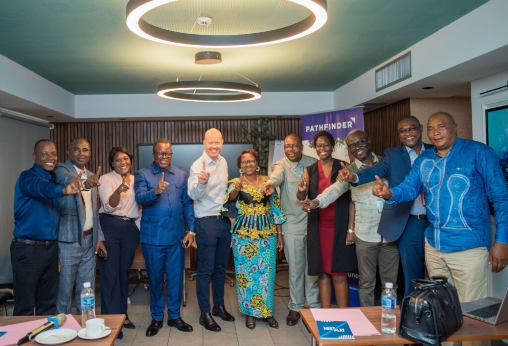
Implemented by Pathfinder, Natview Foundation for Technology Innovation, Data Science Nigeria, and GRID3 with funding from the Gates Foundation, GeoST4R deploys two digital tools: the Geospatial Microplanning Toolkit (GMT) and the Snackable Chatbot. GMT automates geospatial microplan creation and modification, while the chatbot facilitates real-time access to microplans and commodity quantification.


GeoST4R Activities
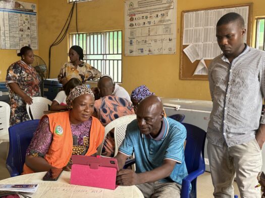
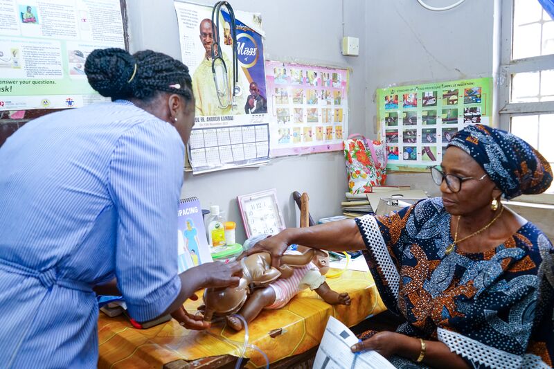
- Deployment and Use of the Geospatial Microplanning Toolkit (GMT): The GMT is a mobile application designed to enhance immunization service delivery by utilizing geospatial data for improved digital microplanning.
- Implementation of the Master Settlement Registry: The Master Settlement Registry (MSR) is a digitized version of the harmonized master list of settlements (MLoS), describing officially recognized settlements with codifications from Ward, LGAs, and State using descriptive and spatial metadata representations.
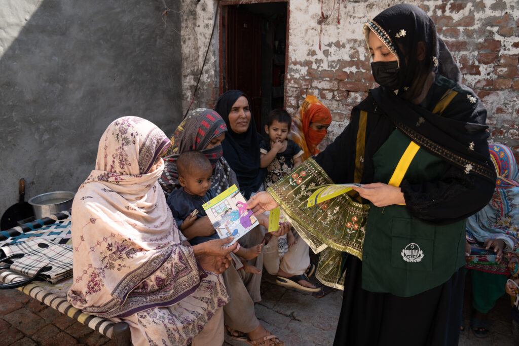
- Deployment of the Snackable Chatbot: The Snackable Chatbot is a conversational mobile digital solution designed to enhance health facilities’ microplanning design processes and provide real-time field intelligence for the strategic deployment of interventions. It supports healthcare workers by offering on-demand visibility of their updated microplans and session plans, including access to demographic data and required commodities. Additionally, it automates the commodities quantification process, which is often error-prone during microplan creation.
- Establishment of the Decision Support Dashboard: DSD is an advanced multi-interactive geospatial platform that integrates various operational and microplanning datasets. This tool enables stakeholders to visualize RMNCHN variables on a map, offering interactive insights crucial for decision-making.
- Data Management: The data management component of the grant focuses on setting up and operationalizing the centralized geo data bank for accessing microplanning resources through the GMT, Snackable Chatbot and Decision Support Dashboard.
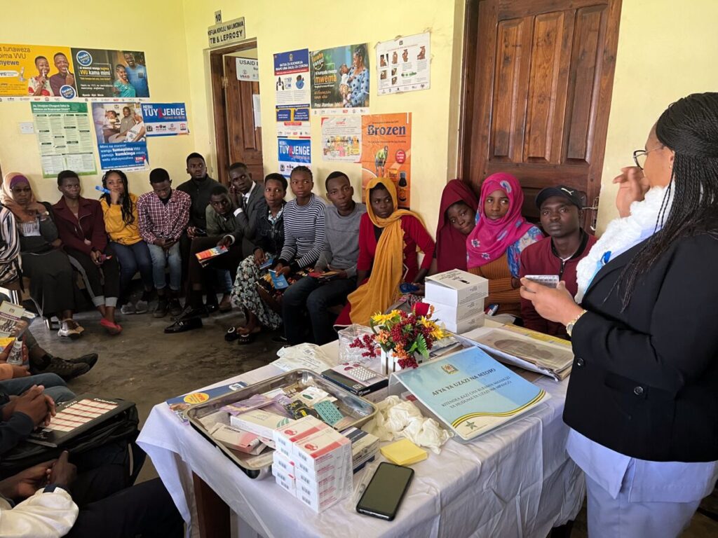
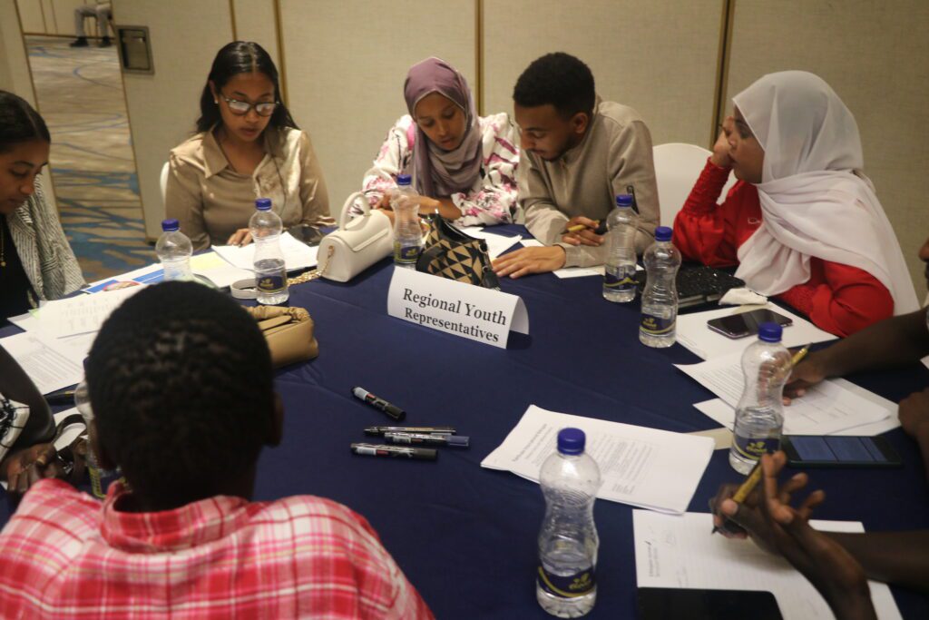
- Stakeholder Engagement and Utilization Support: This workstream focuses on engaging stakeholders at both the facility and state levels to address challenges related to the adoption and utilization of investment products. It also emphasizes creating linkages between the outputs of different workstreams and their impact on improving planning and resource allocation at all levels.